The Salkantay Trek from Cusco to Machupicchu

Finally, after postponing our trip to Peru from one year, my daughters, Elena and Diana, and I arrived to Peru to start our trek to Machupicchu via Salkantay path. I have to give our deepest thanks to the Salkantay Trekking Company for their professionalism and support.

We arrived in Lima on Friday May 28 and my daughters and I had a wonderful lunch in Miraflores-Lima, of course including Pisco Sour drinks. That evening we had dinner with relatives from Venezuela that had migrated to Peru due to the crisis in Venezuela. Here are some pics:

More updates to follow on our trek to Machupicchu

Day 6 – Journey from Rib Lake to our pickup point

We waked up half frozen but full of energy, the sun was warming us quickly and couldn’t wait to get my warm cup of coffee. This was the last journey and it felt amazing that the time went so fast.

We thought that the journey was going to be hard, however, it was nice and without wind. The only hard part was the Portages, they were very rocky and minimum space to park the canoes.

On the second portage we crossed the Boundary waters and entered the Superior National Forest. The four amigos from “El Camino” took a picture at the marker.

The last portage had a lot of rocks and limited space for the canoes and the packs, so Steve and I decided to go ahead to end and walk the 1 mile to the phone to call for pickup and get some beers.

Steve came back with beers, Coors Light, very appropriate since Tim was on the team that developed the formulation of Coors Light. Here we are, celebrating with a cold beer, no my type of beer, but it felt really good.

After shaving and a hot shower, we got in clean clothes and immediately proceeded to the bar for some refreshments ……

The END of a fantastic Adventure …..

Day 5 – Journey from Long Island lake to Rib Lake

We slept well and nursed our pain from the previous day. The trip was enjoyable, the wind wasn’t in our face as the previous two days.

The biggest challenge was navigating trough the low level waters and avoiding the rocks. In fact, the canoe that had Tim and Sandy got stock on a big rock, waged in a way that they couldn’t go forward or backward. Paul and I started to help but the canoe did’t move, so in the middle of the lake, we got close to the rock for Paul to step on it. He was able to push Tim/Sandy canoe out the rock and I came back to get Paul, my fear was flipping our canoe when Paul step from the rock to our canoe. Everything when well and we change our canoe flag to “Coast Guard” 🙂

We arrived to the site and did our normal duty, selecting a place to hang the food overnight, setting the tents, collect wood and cook the food.

The night was very cold and the temperature went down to 29 F. Paul kept the fire going until 11:00 pm. I had a hard time getting warm inside my sleeping bag rates for 20 F. As our outfitter indicated to me, 20F rating doesn’t mean it will keep you warm, it will just keep you alive at that temperature 🤒

Day 4 – Journey from Ogema Lake to Long Island Lake

Today was a long journey and the win was rough but no as hard as the previous day. It was also a day of many first. One of portage was 185 rd and very steep. It took us a significant time to clear this portage.

When we entered the narrow and long Kiskadinna lake, we had the win in our face the whole time, I thought that my arms were going to fall off.

At the end of Muakeg lake we needed to clear the so called muddy portages, the problem is we could find the short portage indicates in the map. The first one was only like one rd, three canoes start searching the location of the portage, however, the beaver dam didn’t show any clear path. Steve and Stephanie decided to push their loaded canoe over the beaver dam to the marshland. We saw this maneuver as decided to follow. This path is now known as “Steve’s Portage”.

We navigated slow through the marshland.

At the end, we faced the same issue as in the previous portage, we couldn’t find the portage and we found another beaver dam with a water fall. Mike decided to walk the water stream to the next lake to visualize the portage from the other end, when he came back, he indicated that the portage was the water stream.

The path wasn’t muddy but wet and with a lot of rocks making walking really difficult. I fall in the stream with my load and scrape my right knee really hard. Nothing that Sue’s paint killers couldn’t fix.

We finally reached our camp site and started the normal process. The bar opened earlier, needed whiskey to relax the pain.

Day 3 – Journey from Lake Winchell to Lake Ogema

It rained over night and half of the floor in our tent was wet. Sue’s book got really wet (more on her book later).

The morning was cold and windy with indications that rain was coming. The original plan was to make this a long journey and probably camp for two days, however, after facing the win at Lake Winchell everyone was tired. It is really something to be in a canoe paddling against the win. The waves were around 1 to 1-1/2 ft and I have to admit my arms, specially my right shoulder was in pain.

When we arrive at the portage to go into lake Ogema we discussed our strategy and made a decision to stay in this lake.

We started our activities to get lunch, set the camp and look for fire wood. After a couple of ours at the camp site, the weather was getting worse and worse, windier, colder and rainy. Under the tarp, we congratulate ourselves for a good decision.

.

The bar opened when the rain stop and we hang around the fire after dinner for a short time, too cold. The normal ceremonial of hanging the food bags, garbage and liquor was executed using a different technique

Day 2 – Journey from Horseshoe Lake to Winchell Lake

Day 2 – September 24 – Journey from Horseshoe Lake to Winchell Lake

We got up and our group prepared a fantastic breakfast eggs and bacon in the wilderness, it taste better. We left the camp site at about 9:30 am and started our journey west through the Horseshoe lake, a portage of 98 rd with elevation change to get to Gaskin Lake. Going west, we started to fill the impact of the win and how hard it made to paddle.

The portages started to get a bit more difficult as we normally have to do two trips to get everything back to the canoes. We did to portages one 98 rd and the second one 52 rd ( 150 rd = 2400 ft). On the last two days my Fitbit recorded 12000+ step, some of that was probably from the paddling.
Unloading and loading the canoes was a very hard task but we all learned quickly.

Arriving at the Winchell lake showed us the challenge of the win in our face, advancing the canoe under these conditions is hard, period.
We arrived to our target camping site at around 3:00 pm, had lunch and started our routine of setting tents, locating the trees to be used to hand the foot away from bears and searching for fire wood.

Paul and I when out fishing, not much catching but I was able to get small Bass that we cooked on the fire at dinner time. It was just enough for most of us to have a taste. This is a picture of Paul and I fishing.

The sunset was amazing and that night the sky was full of starts and Tim gave us a class on astronomic 101

The previous night, I slept in the hammock, today was too call to be outside the tent.
Our trajectory for the 2nd day is below:

Boundary Waters Canoe Area Wilderness Adventure 2019

Boundary Waters Canoe Area Wilderness Adventure

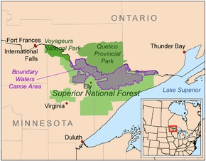
The Boundary Waters Canoe Area Wilderness (BWCAW or BWCA), is a 1,090,000-acre (4,400 km2) wilderness area within the Superior National Forest in northeastern part of the US state of Minnesota under the administration of the U.S. Forest Service. A mixture of forests, glacial lakes, and streams, the BWCAW’s preservation as a primitive wilderness began in the 1900s and culminated in the Boundary Waters Canoe Area Wilderness Act of 1978. It is a popular destination for both canoeing, hiking, and fishing, and is one of the most visited wildernesses in the United States.[2]:10

September 22 – arrival at Superior National Forest – Grand Marais, MN

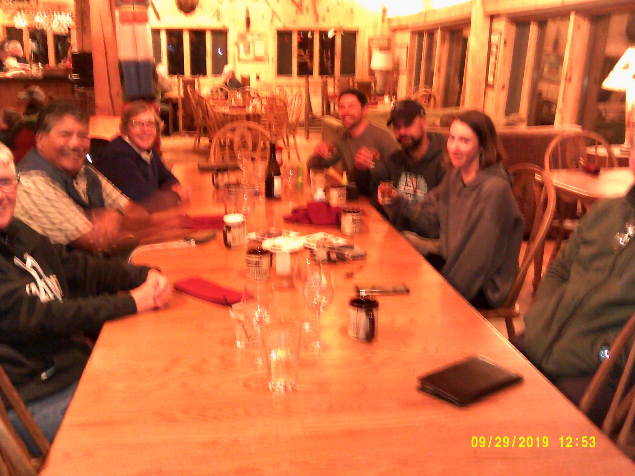
We arrived to GunFlint outfitter site, worked the logistics for our trek beginning the following morning and had dinner and drinks at the lodge.

Day 1 – September 23 – The BWCAW adventure begins ..

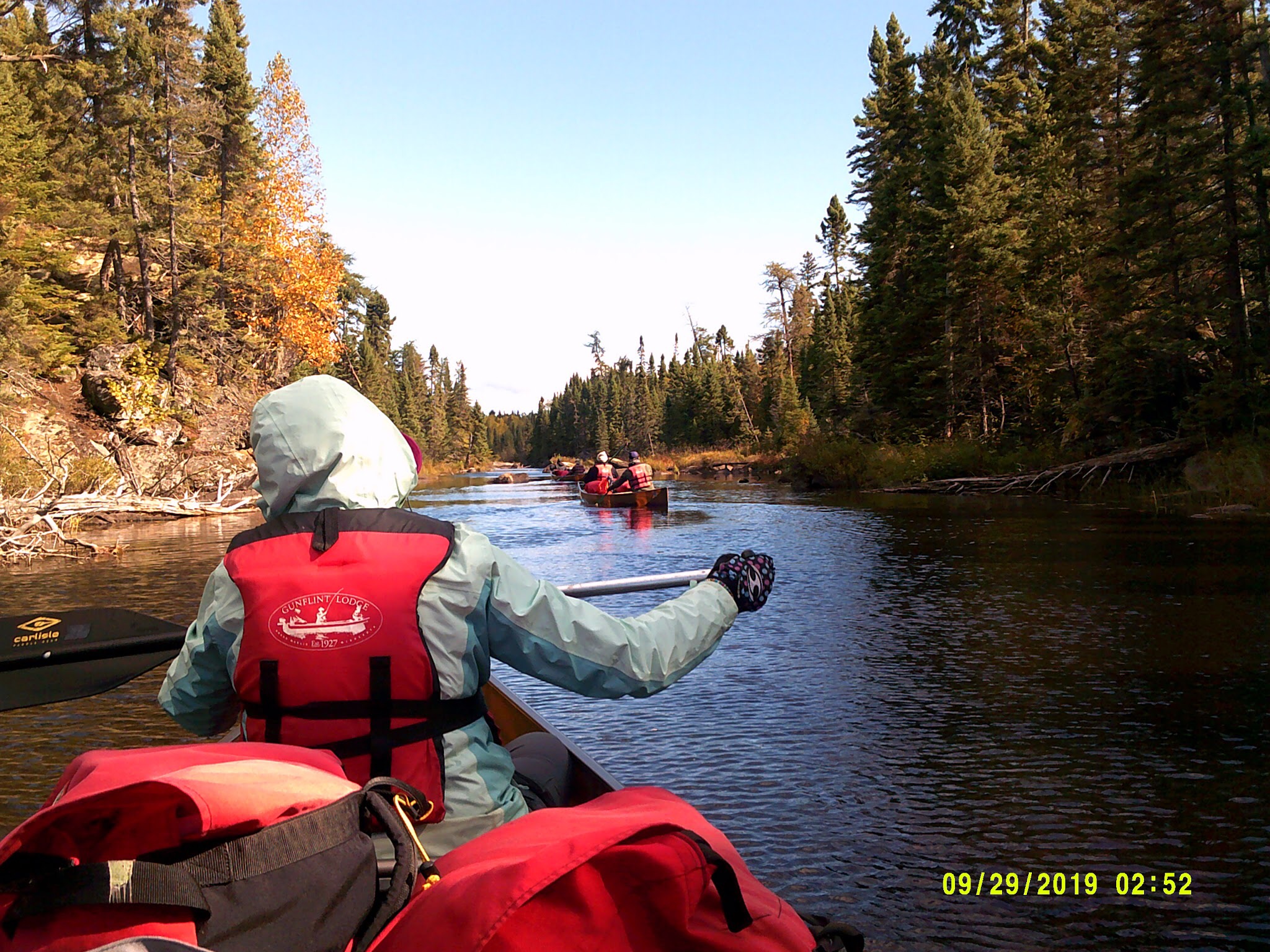
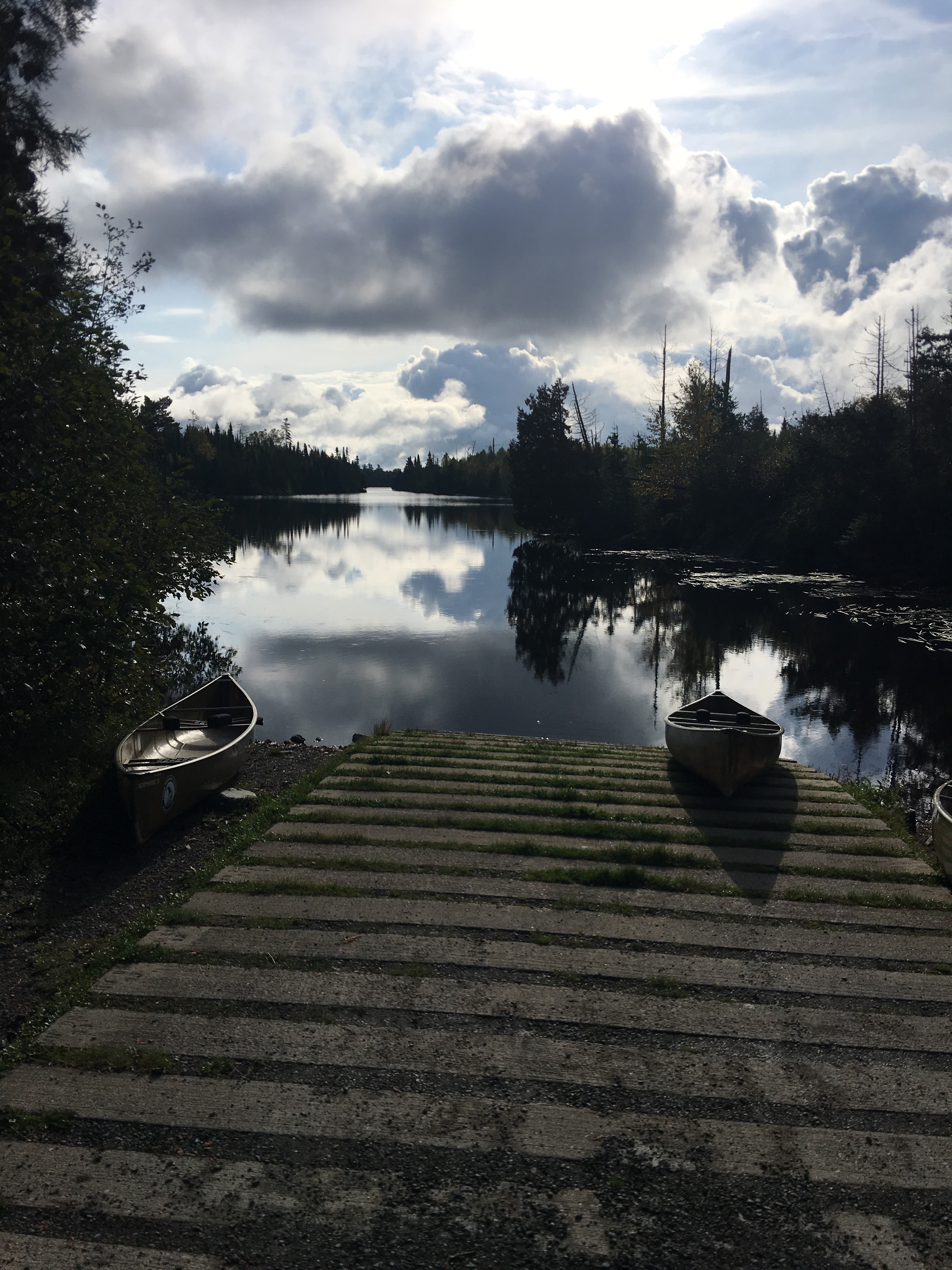
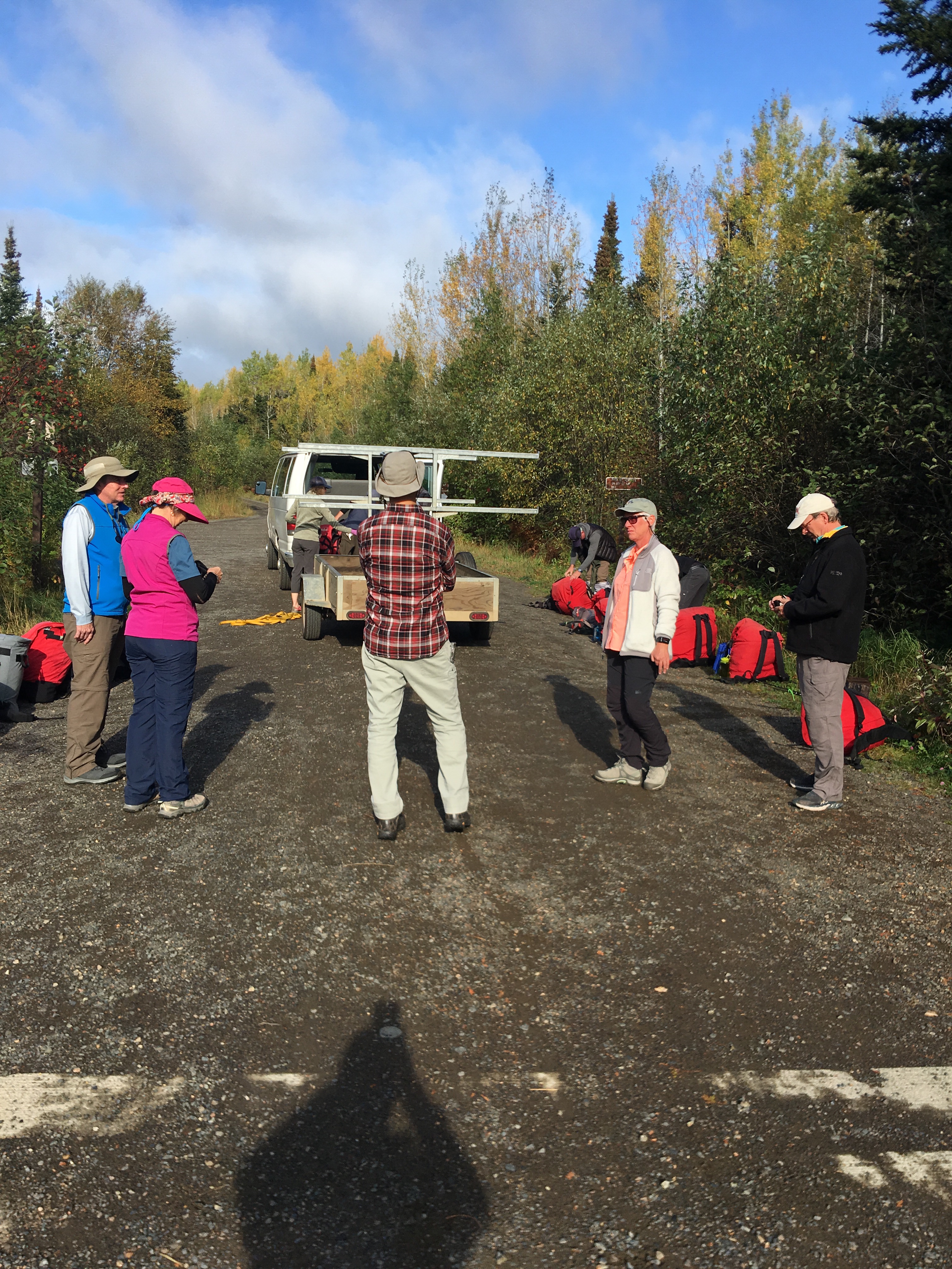
That morning, I took a long shower knowing that from that day on I will only do dry showers. We got up and ate a pancake breakfast collected our equipment and drove to the Poplar Lake public access to launch our 4 canoes.

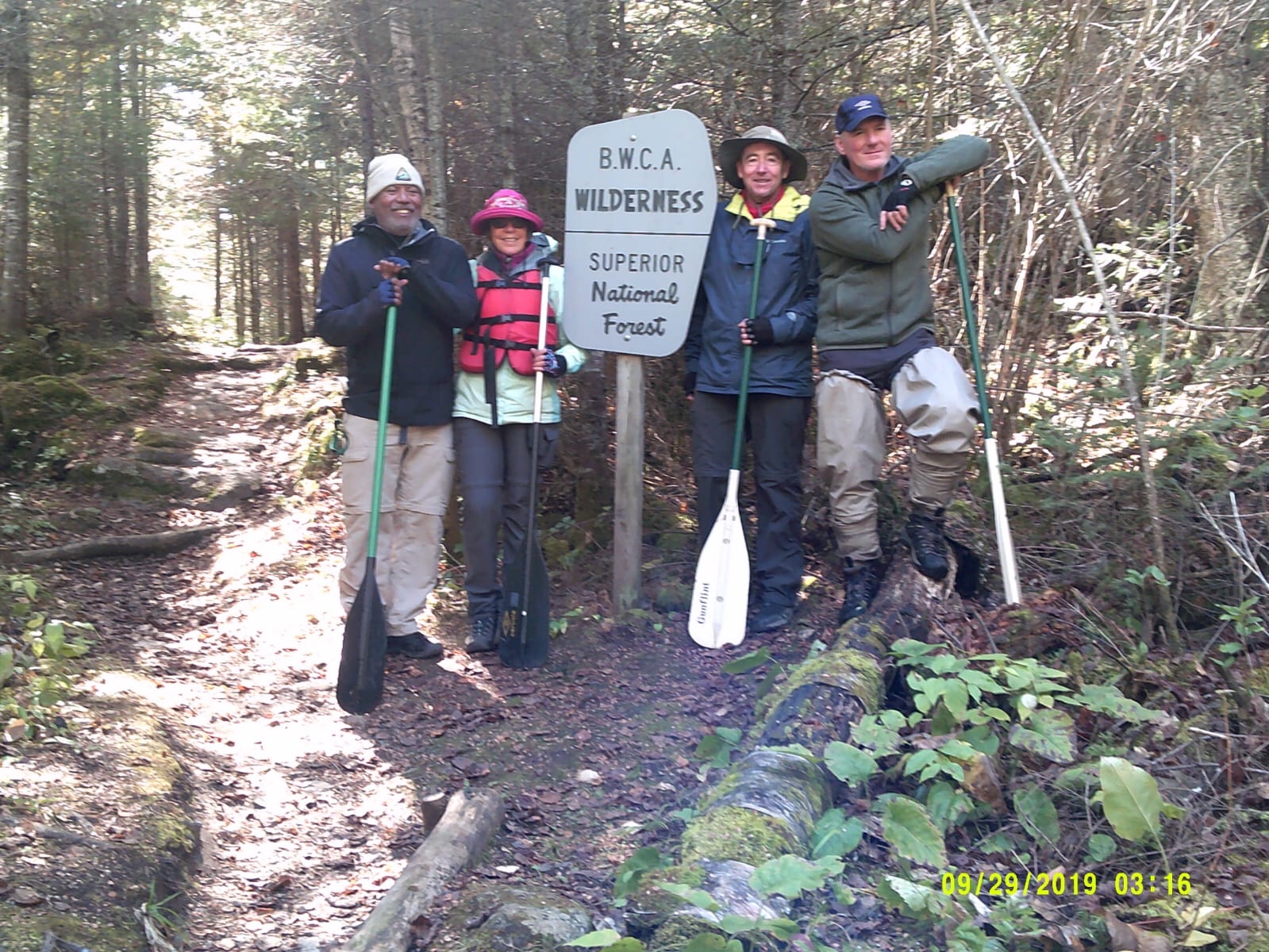
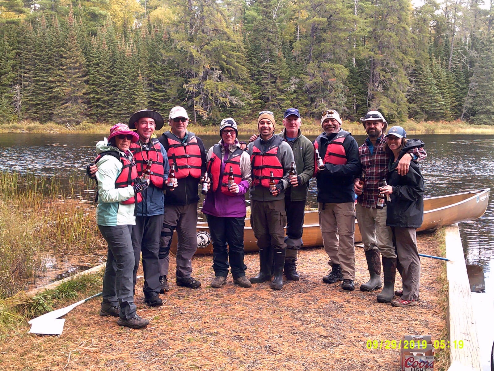
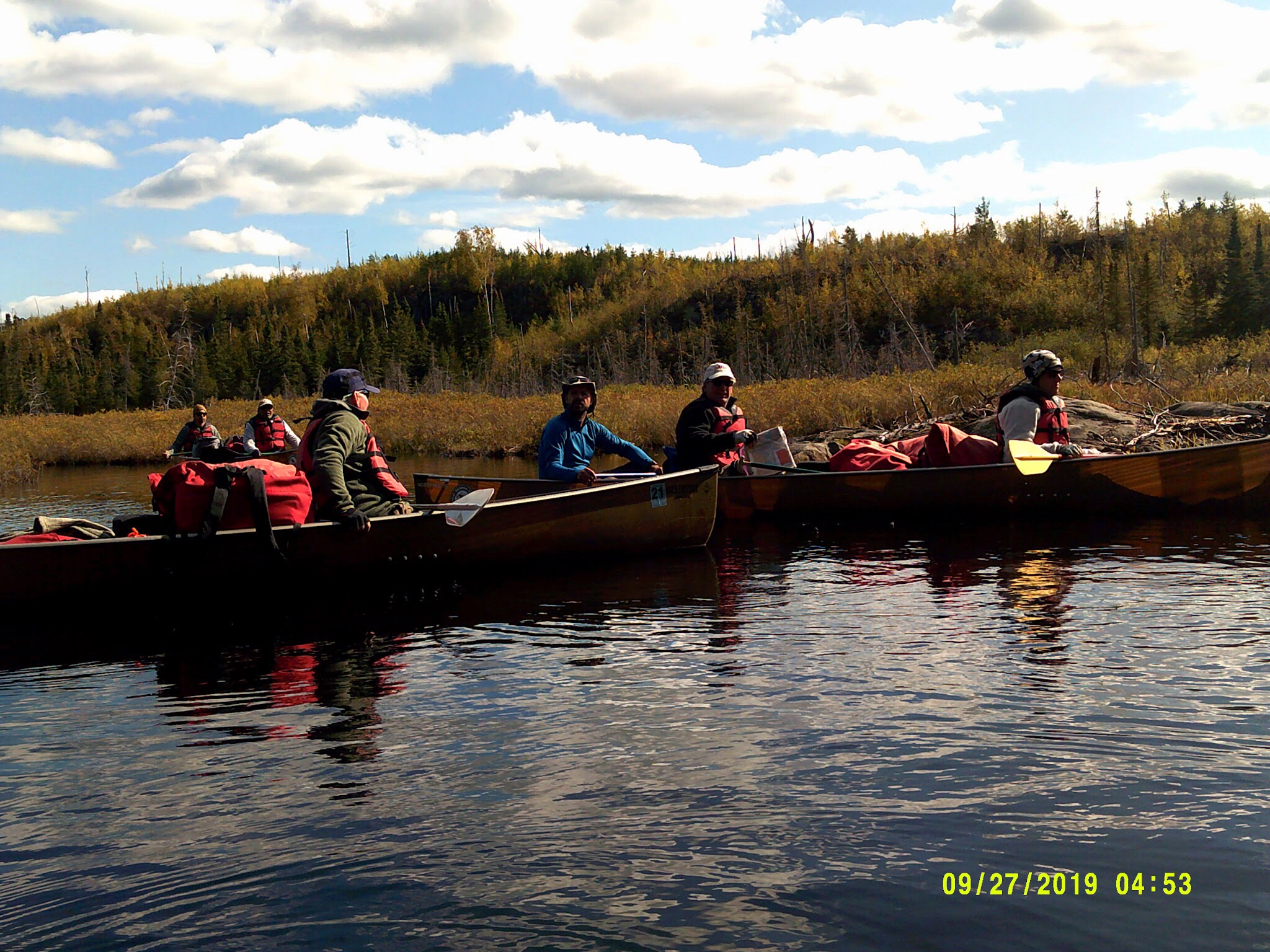
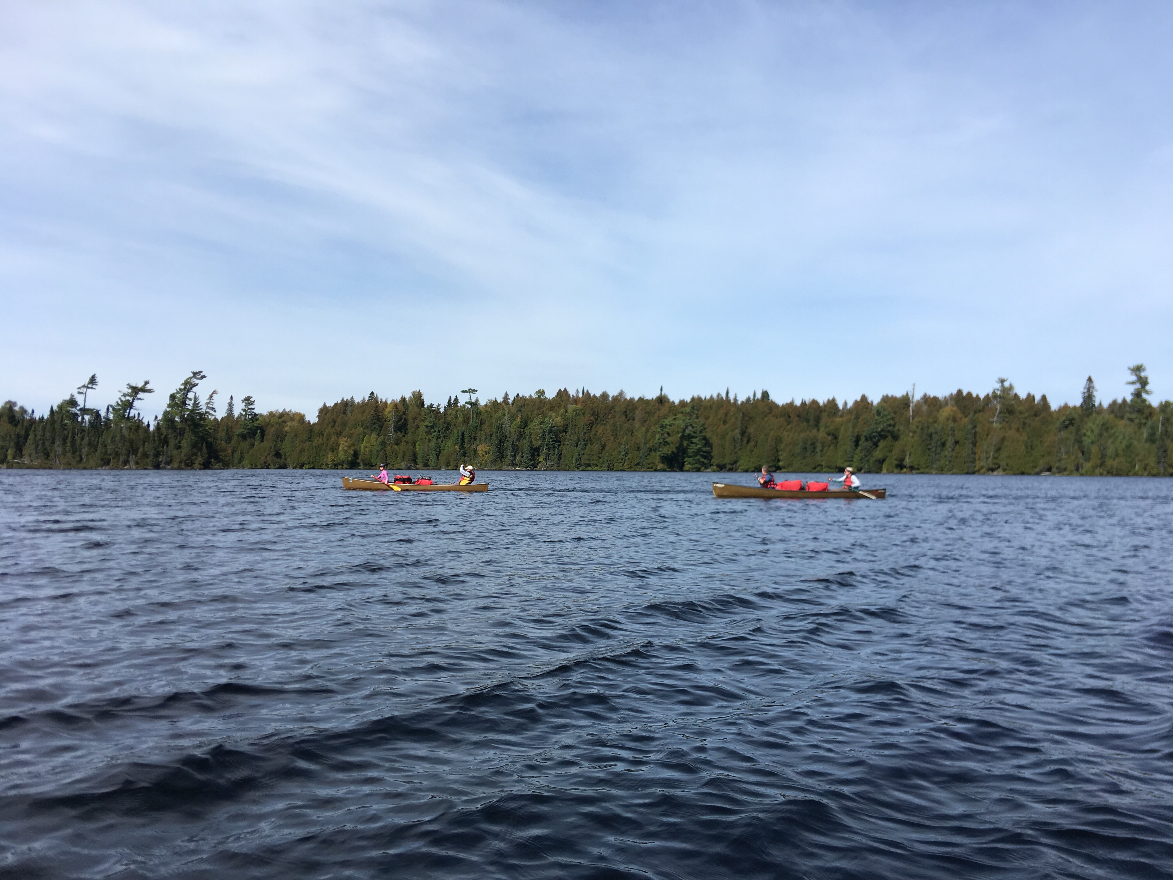
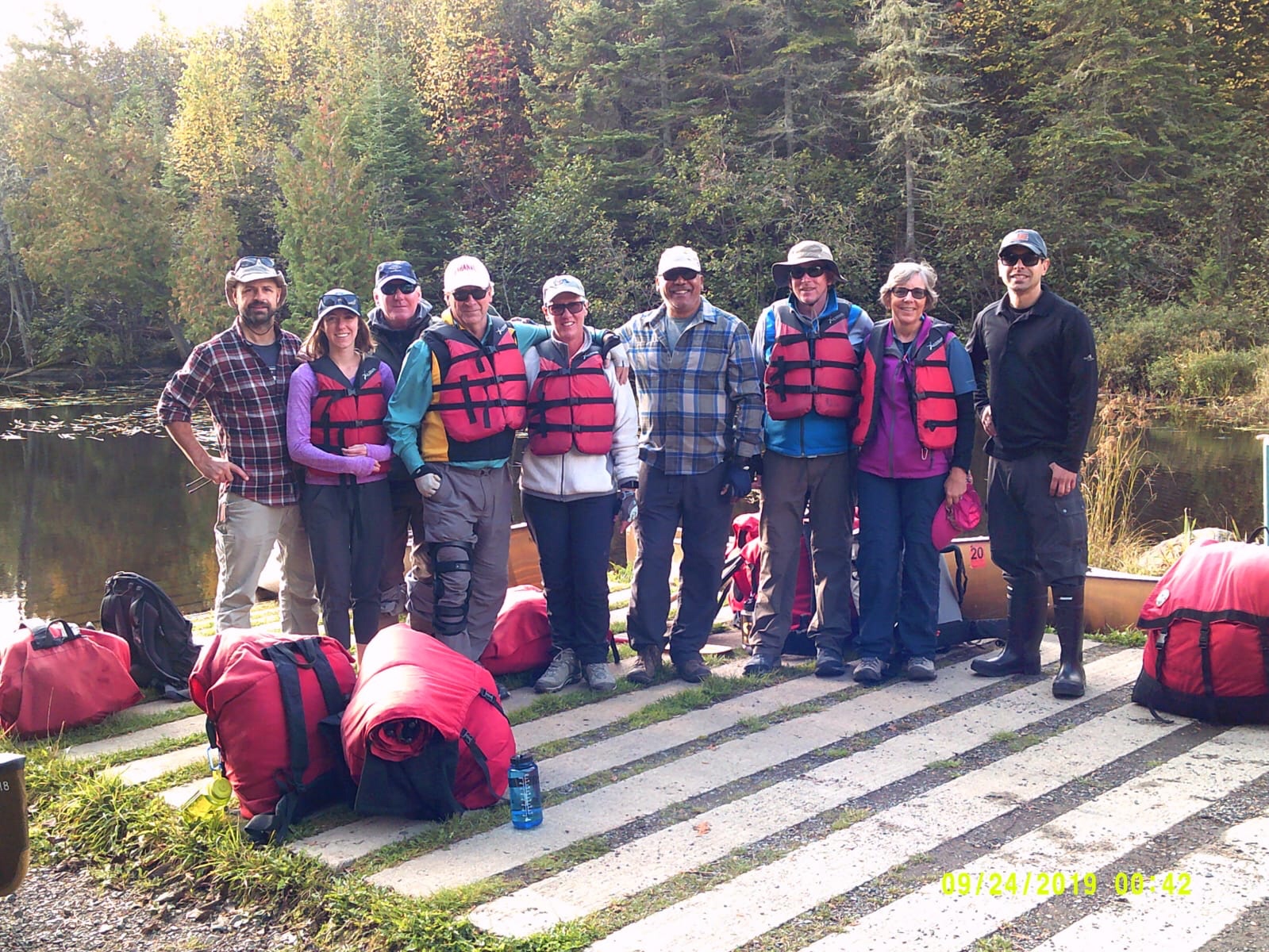
Our group of nine ready to start our adventure.

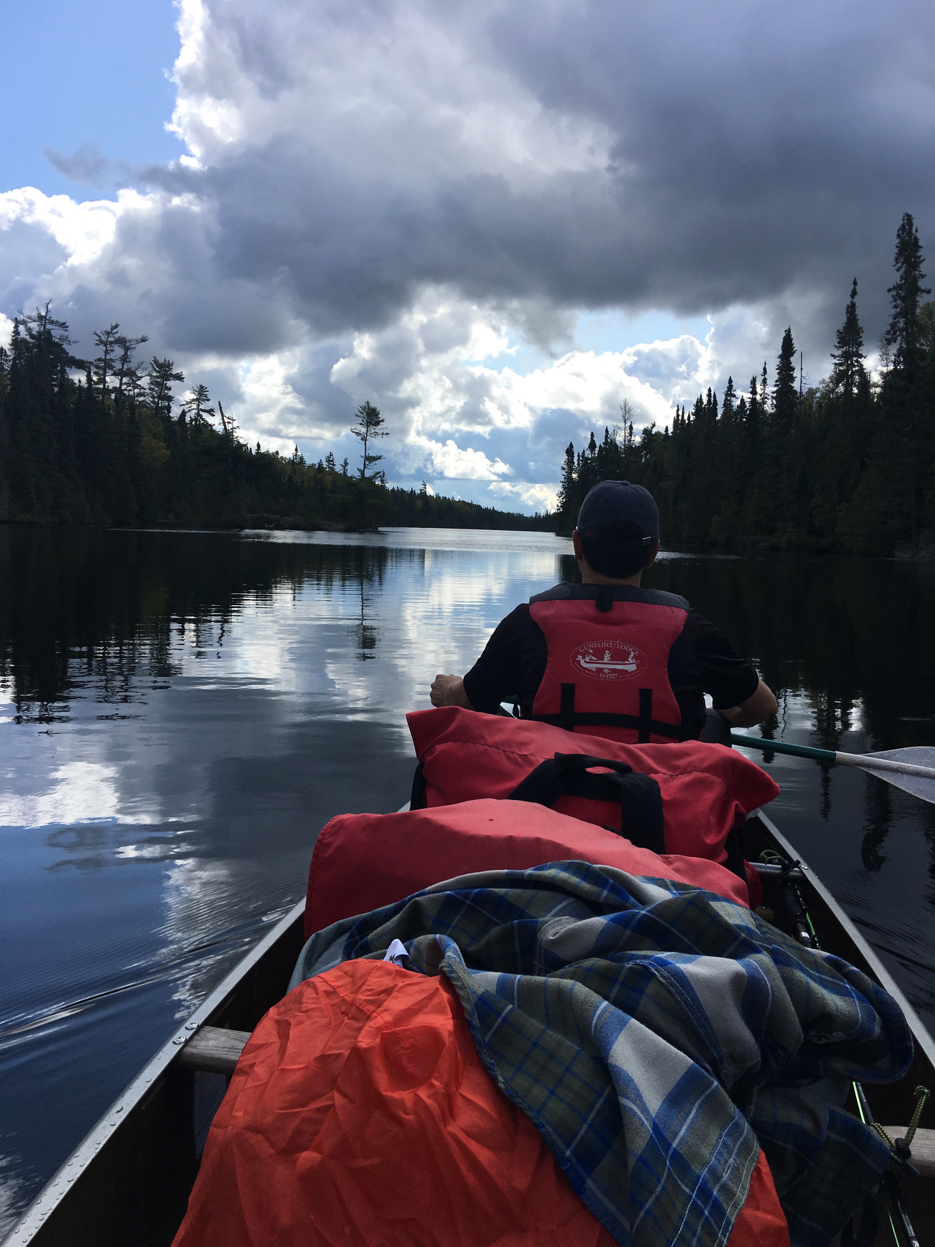
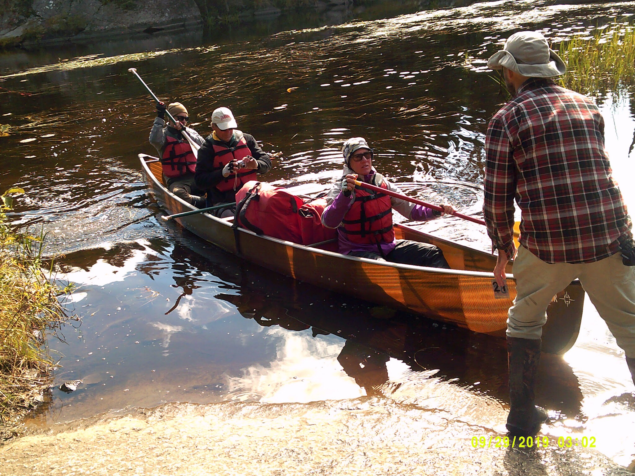
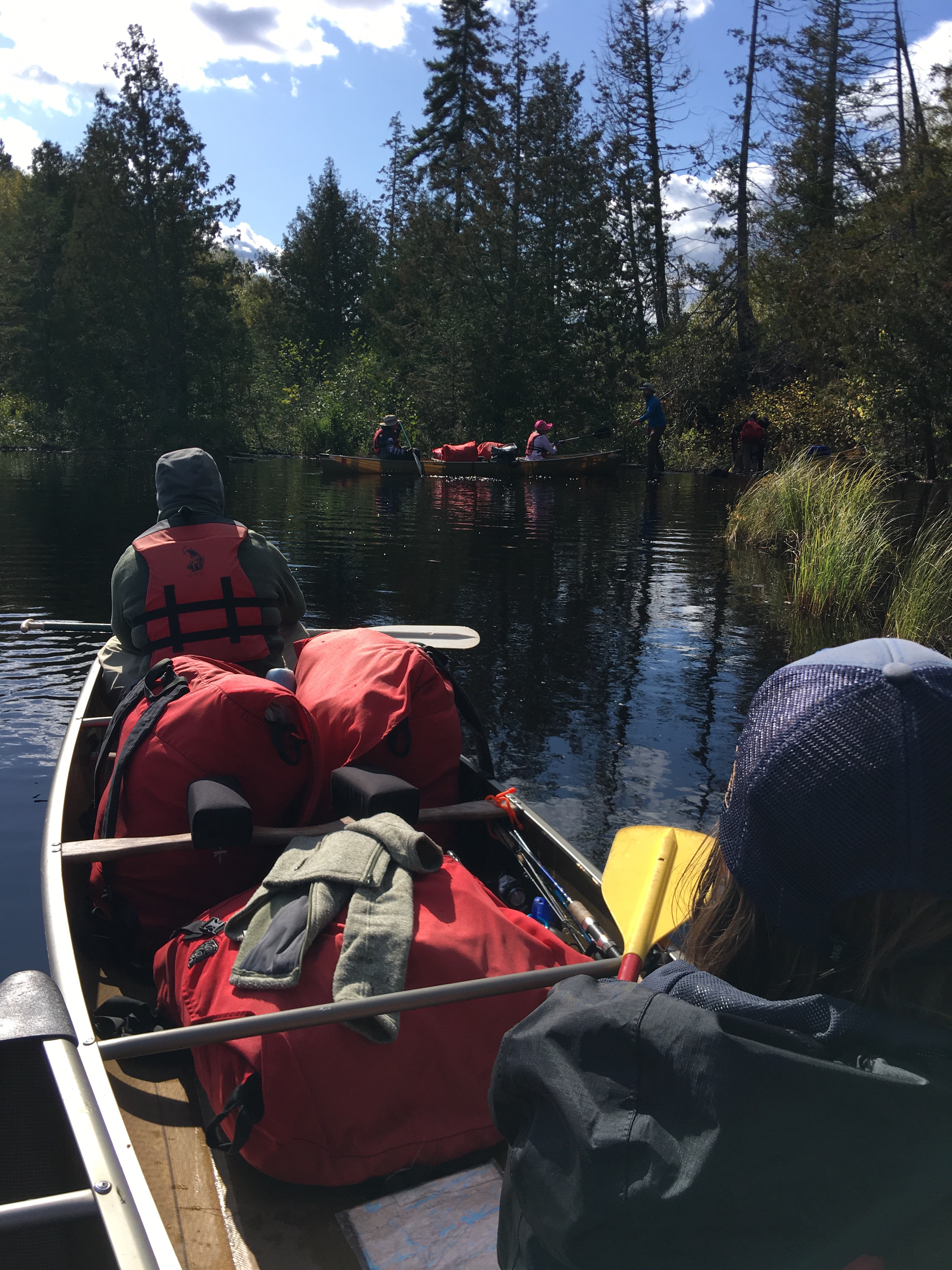
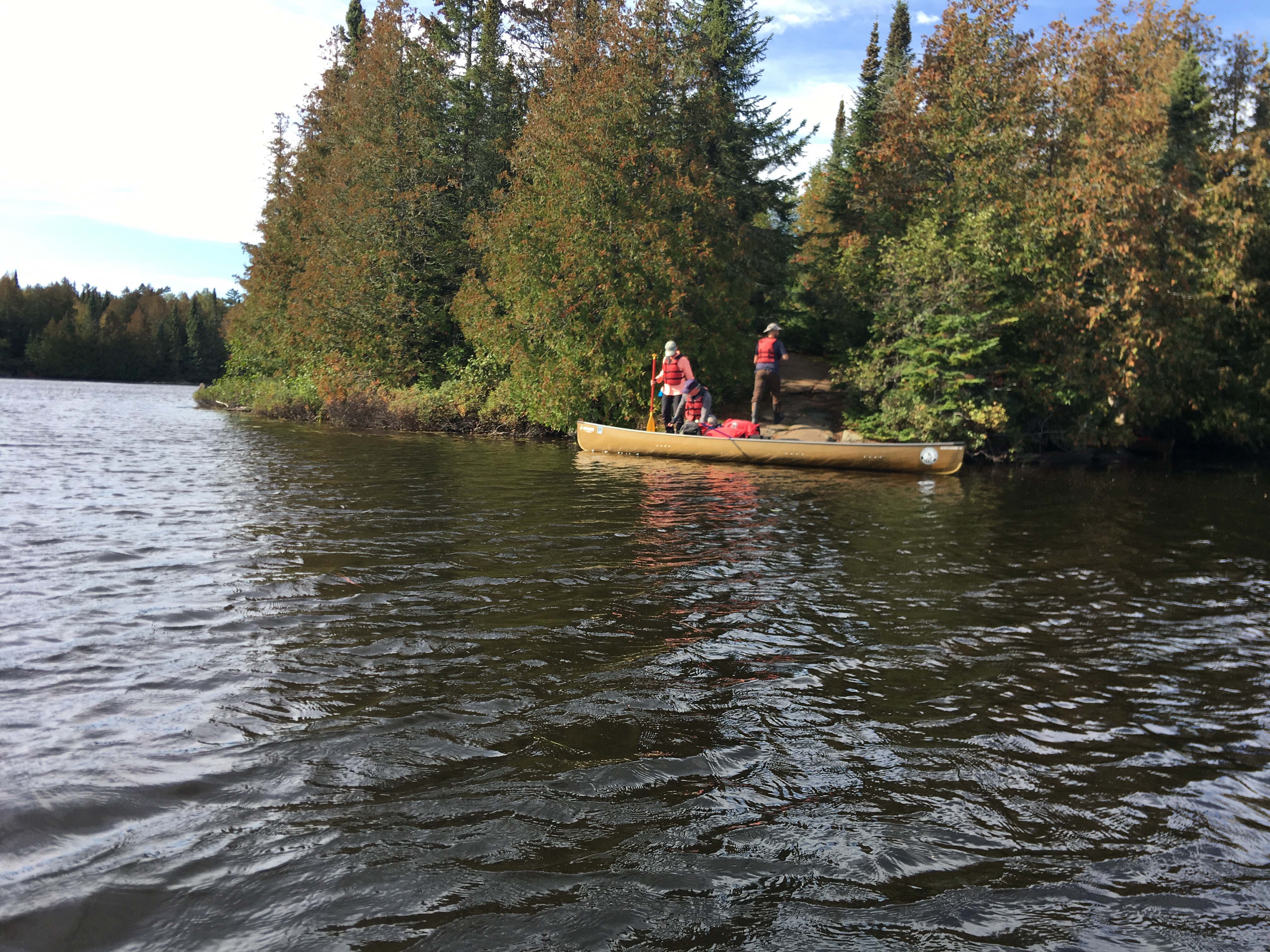
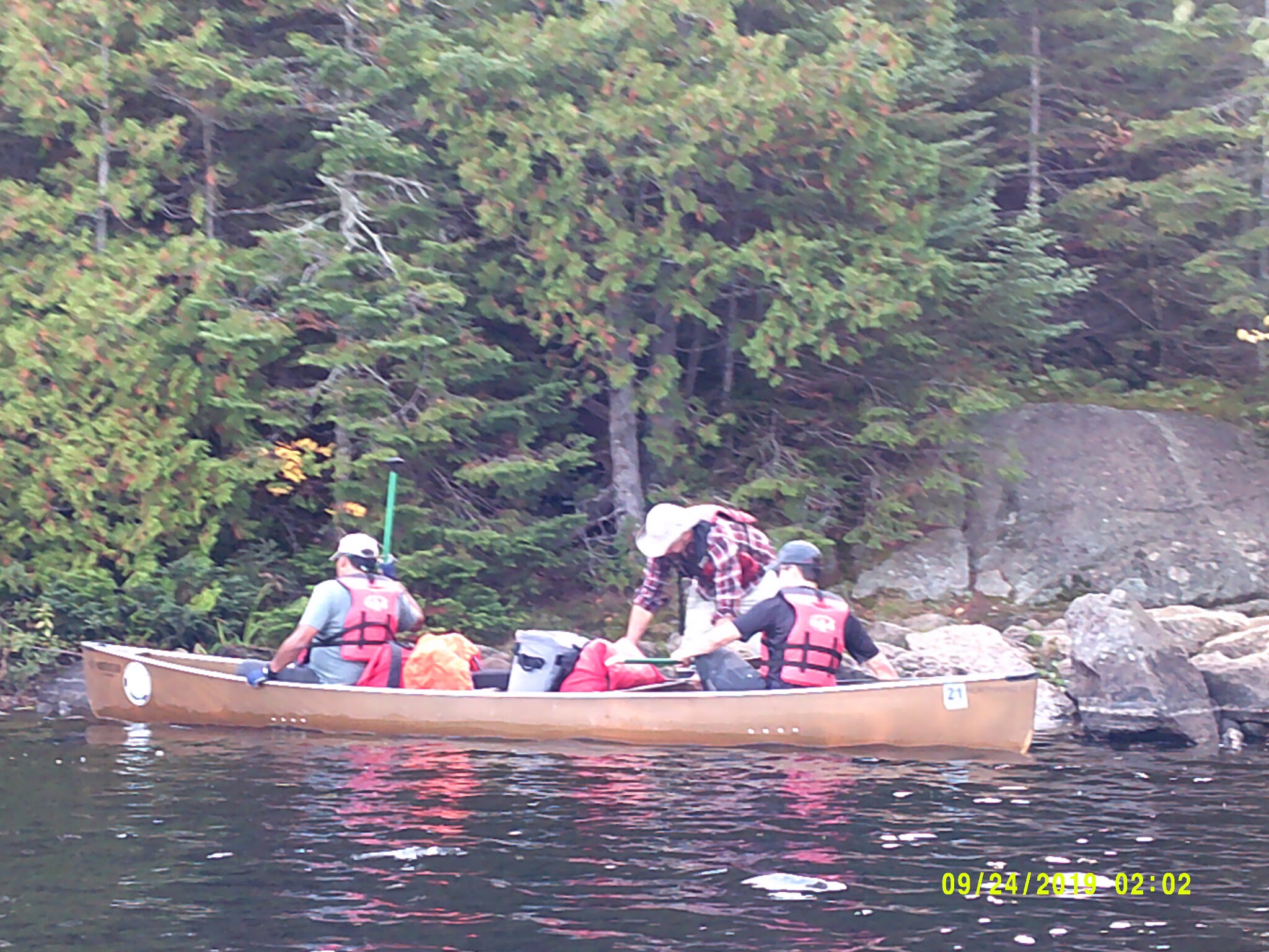
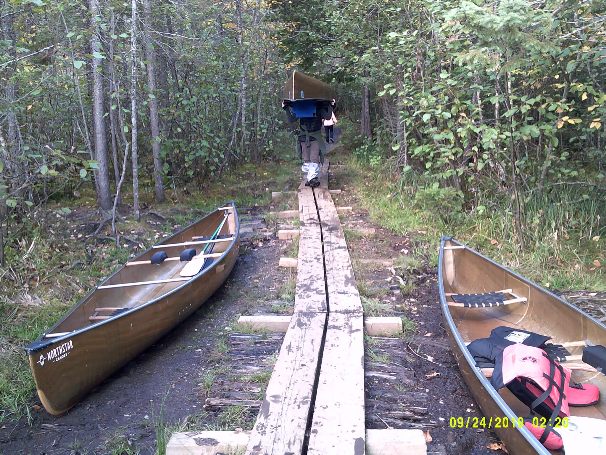
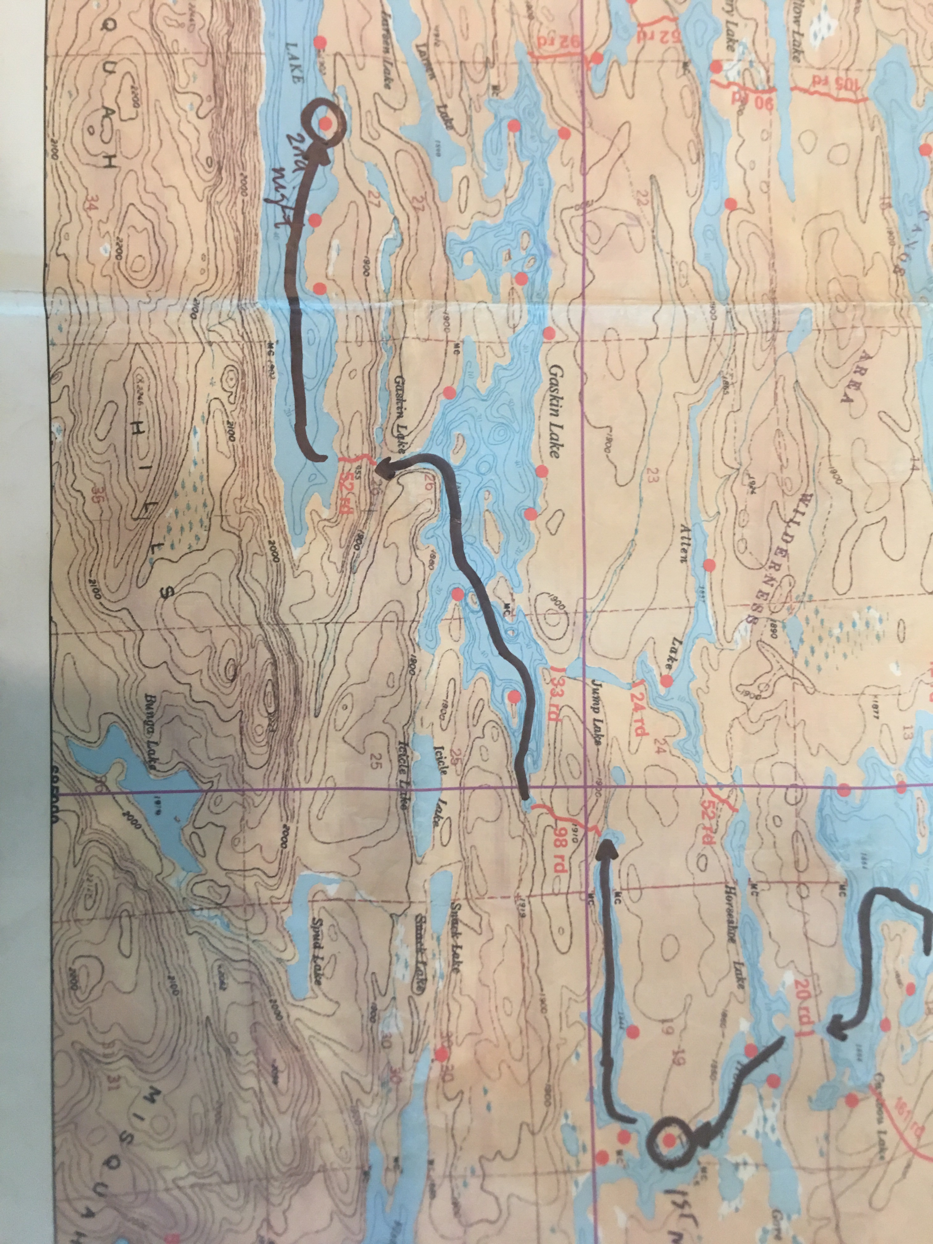
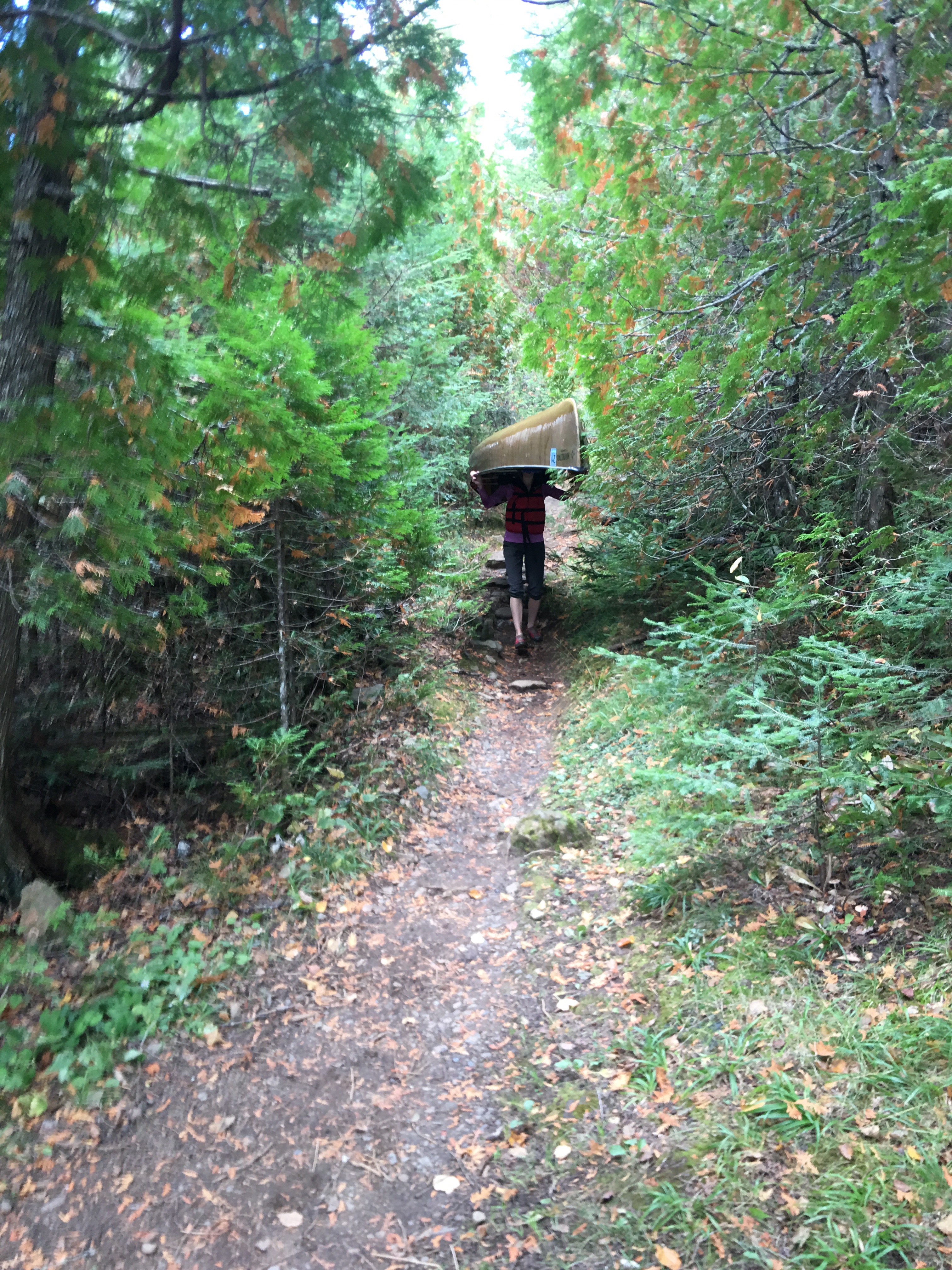
The canoe trek is not only the work of canoeing across the lake, but you have to reach the portages, unload your canoe, carry all the packs and the canoe to the next lake. The distance to hike the portages are described on “rd” (one rd is 16 ft). On the first day we cross 3 portages for a total of 151 rd or 2416 ft. Now, do not think in linear terms, the distance can be deceiving because they can be significant hill, rocky, muddy, narrow, etc.

This is Steve’s daughter, Stephanie carrying a canoe through the portage. Strong …

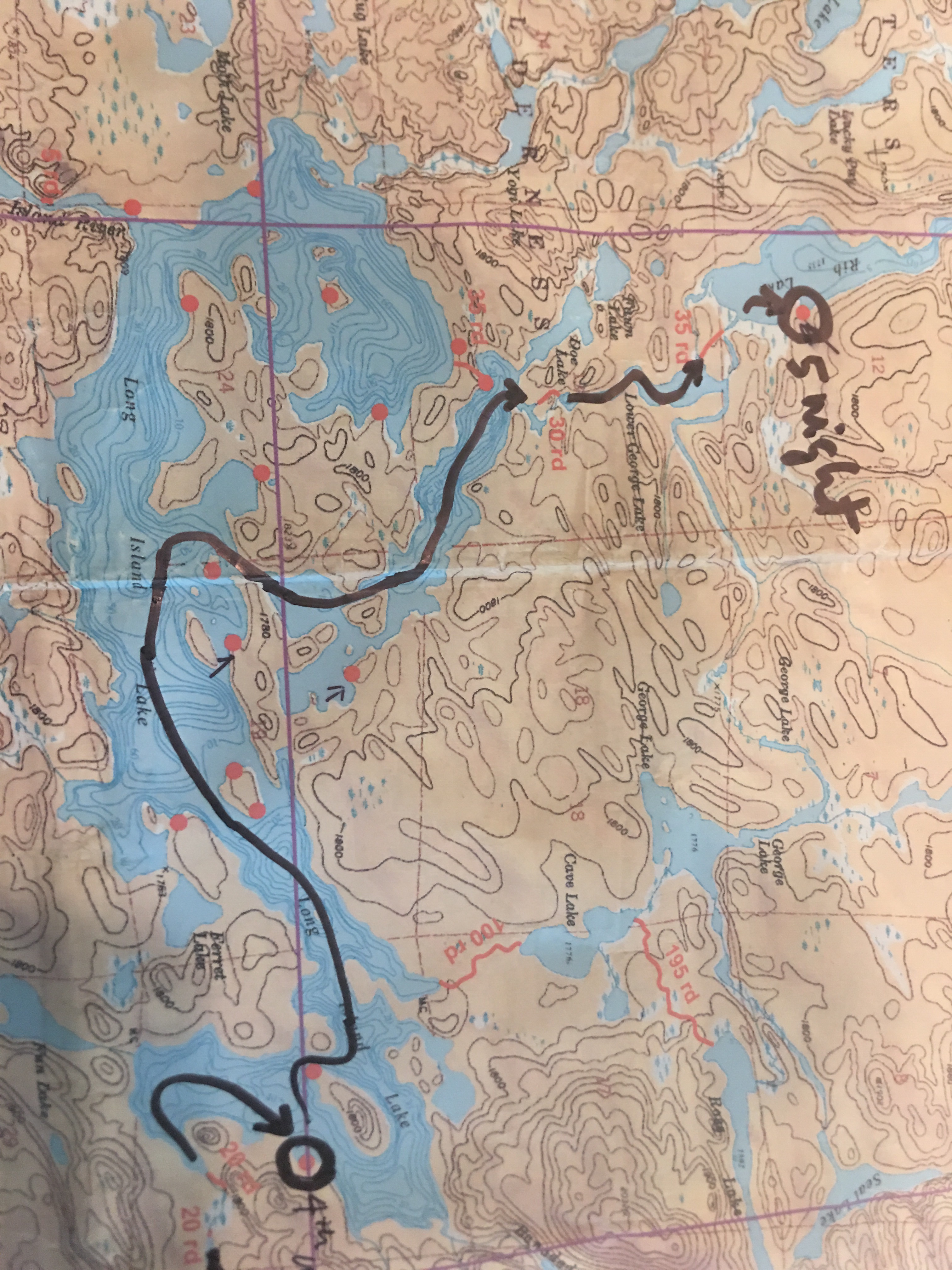
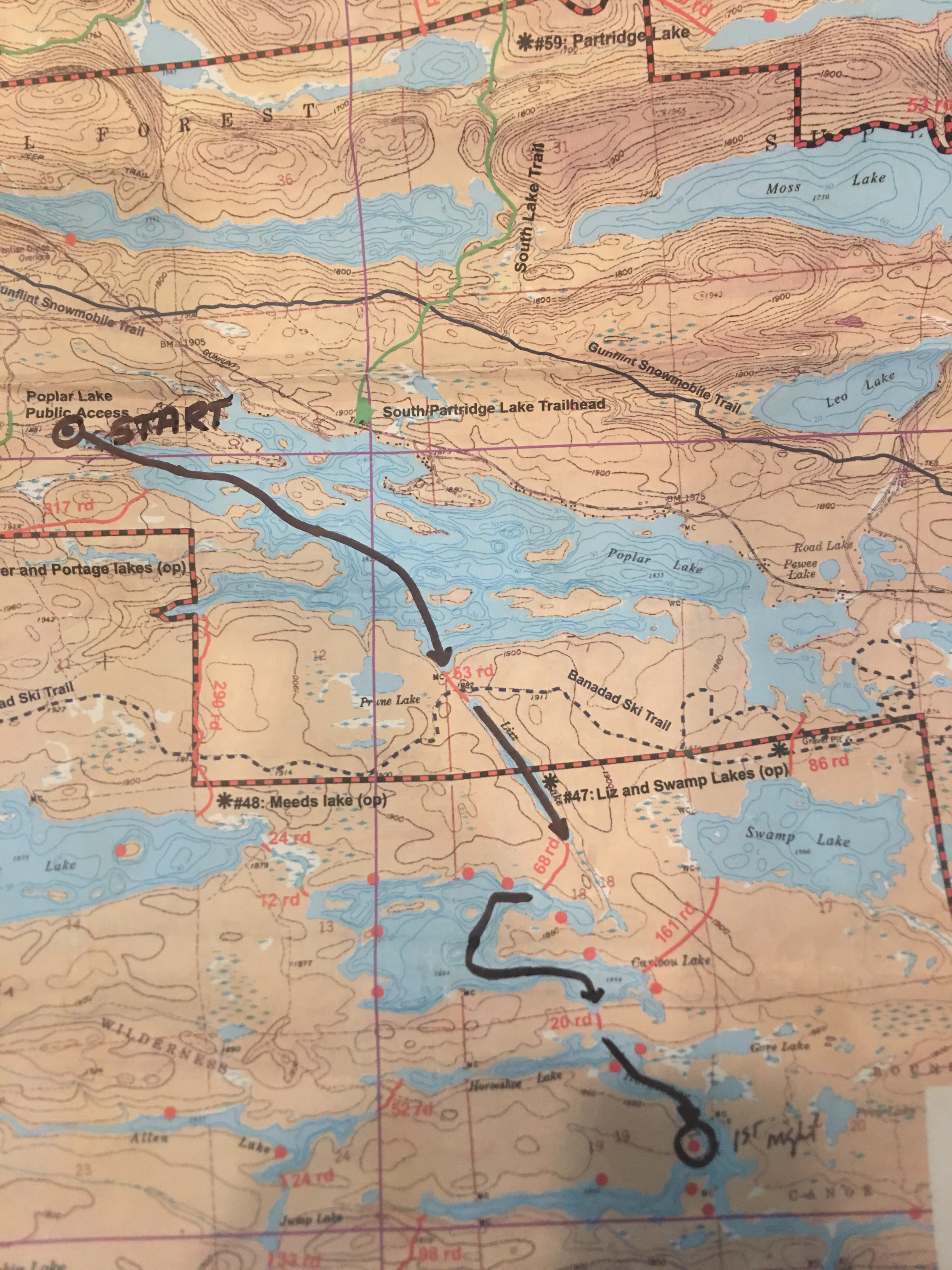
This was our route to our first camp at the Horseshoe Lake:

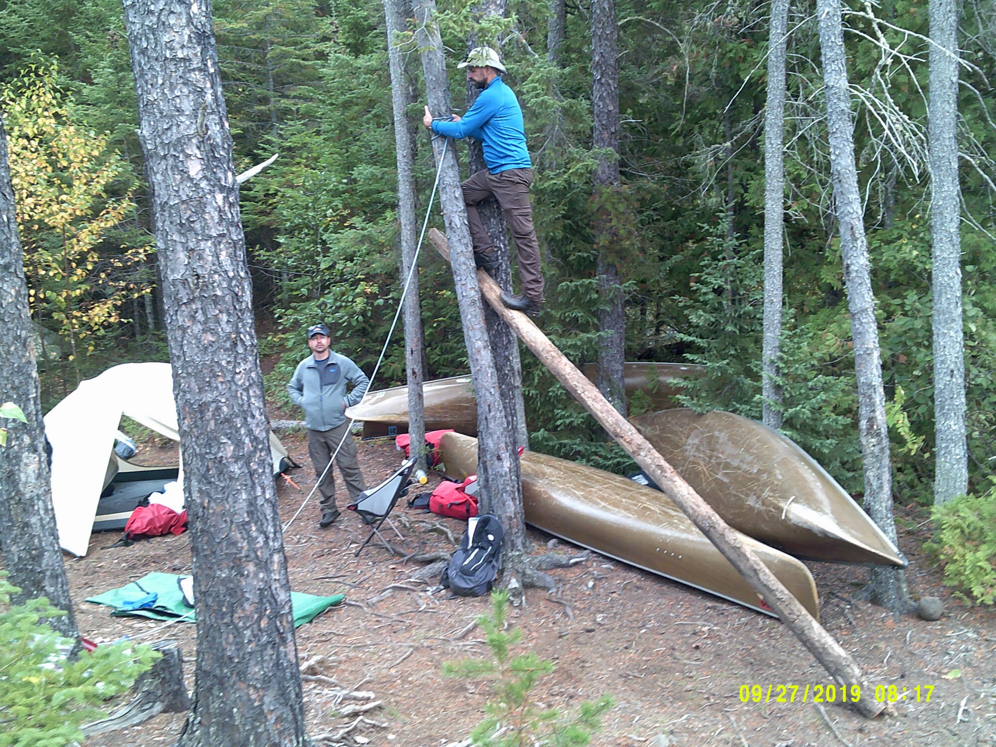
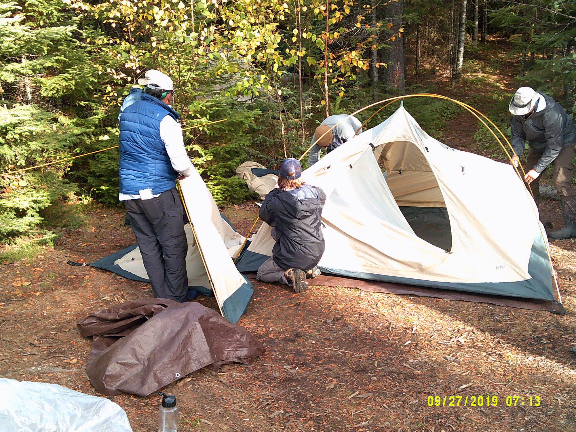
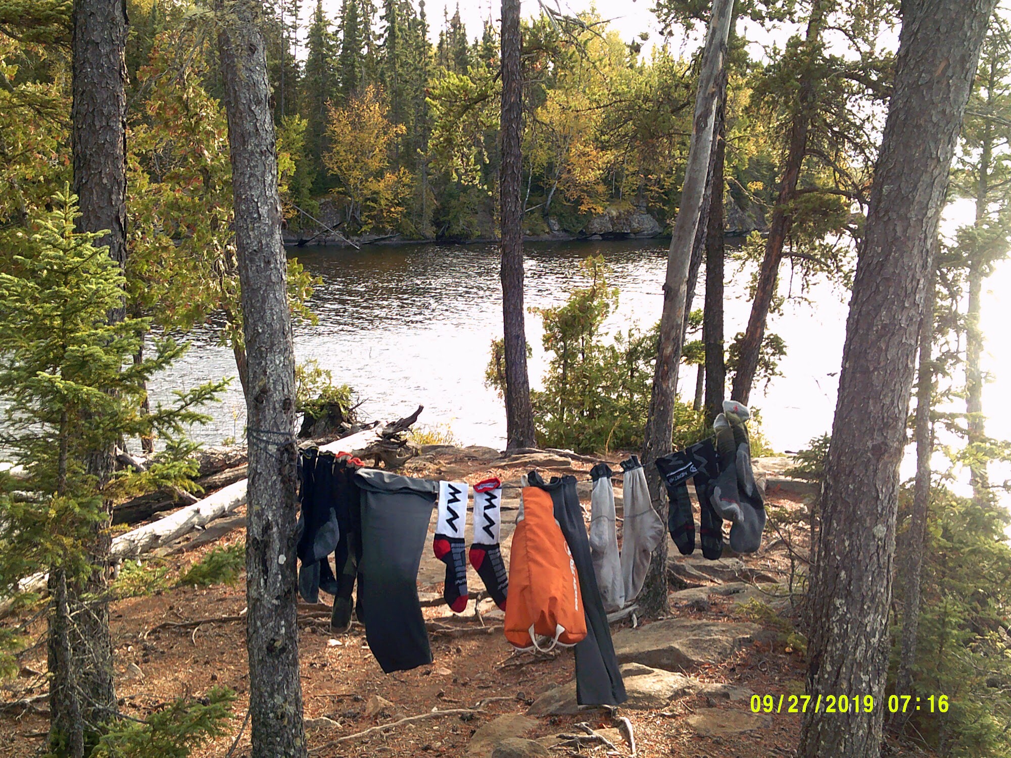
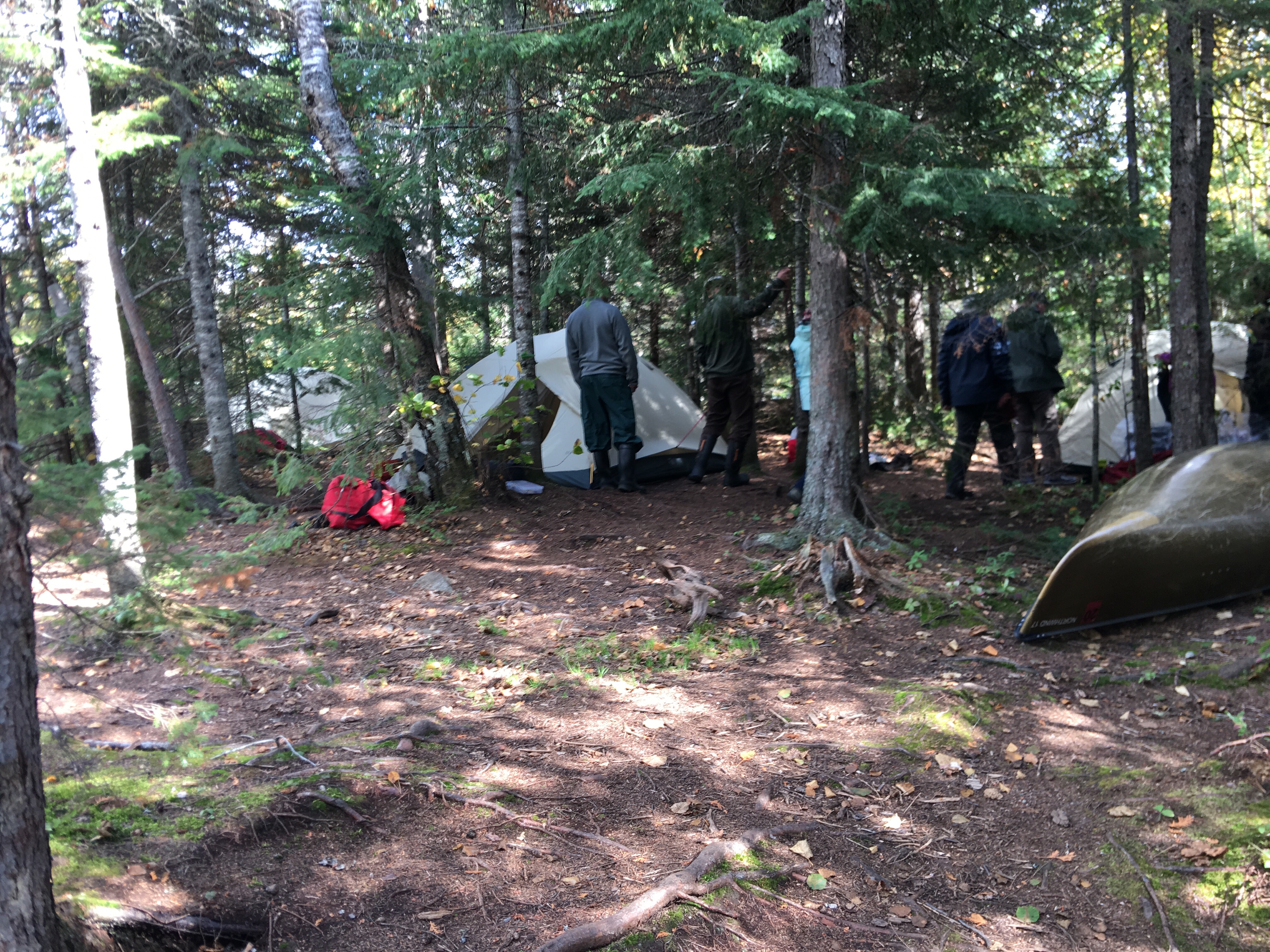
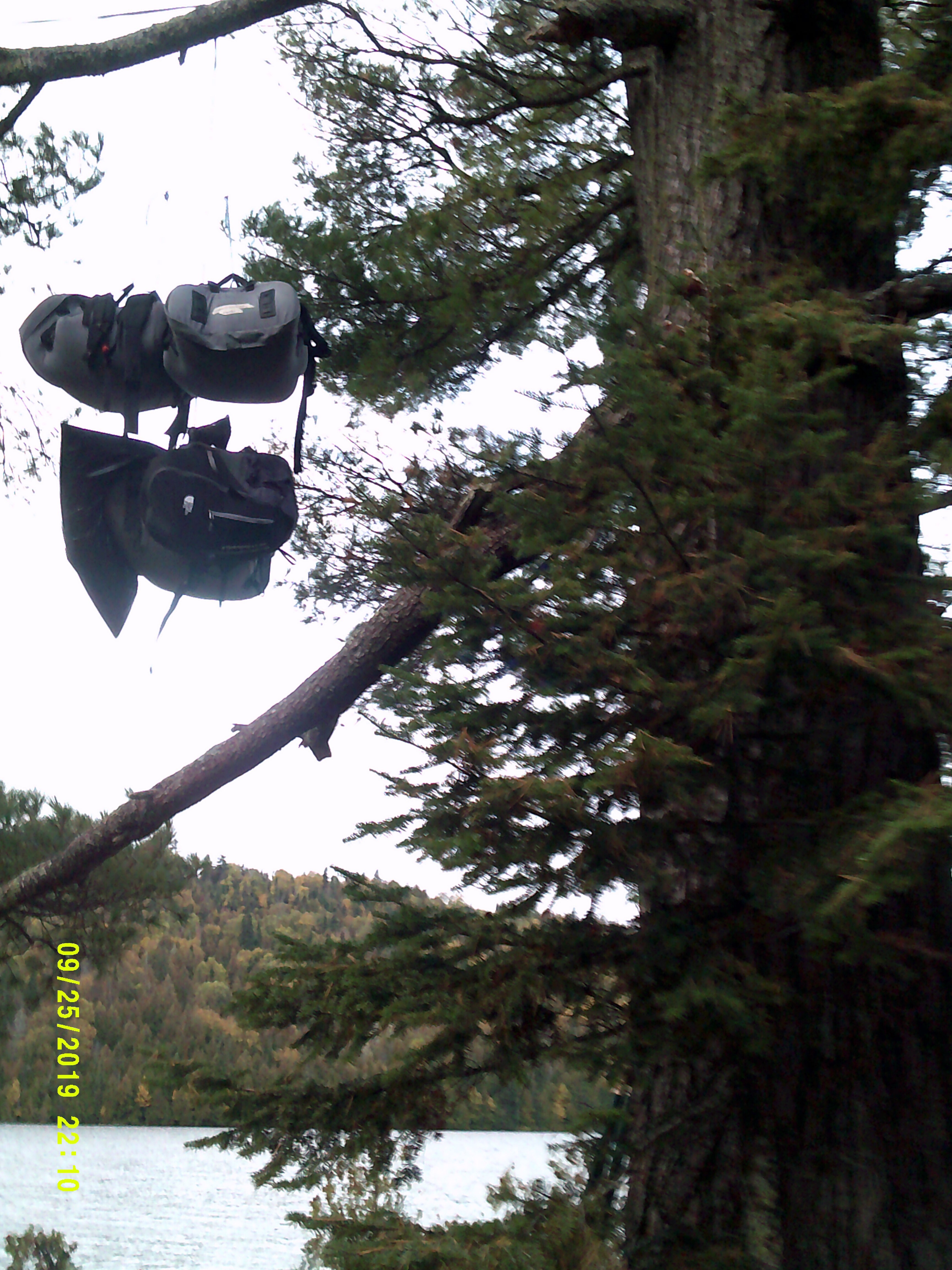
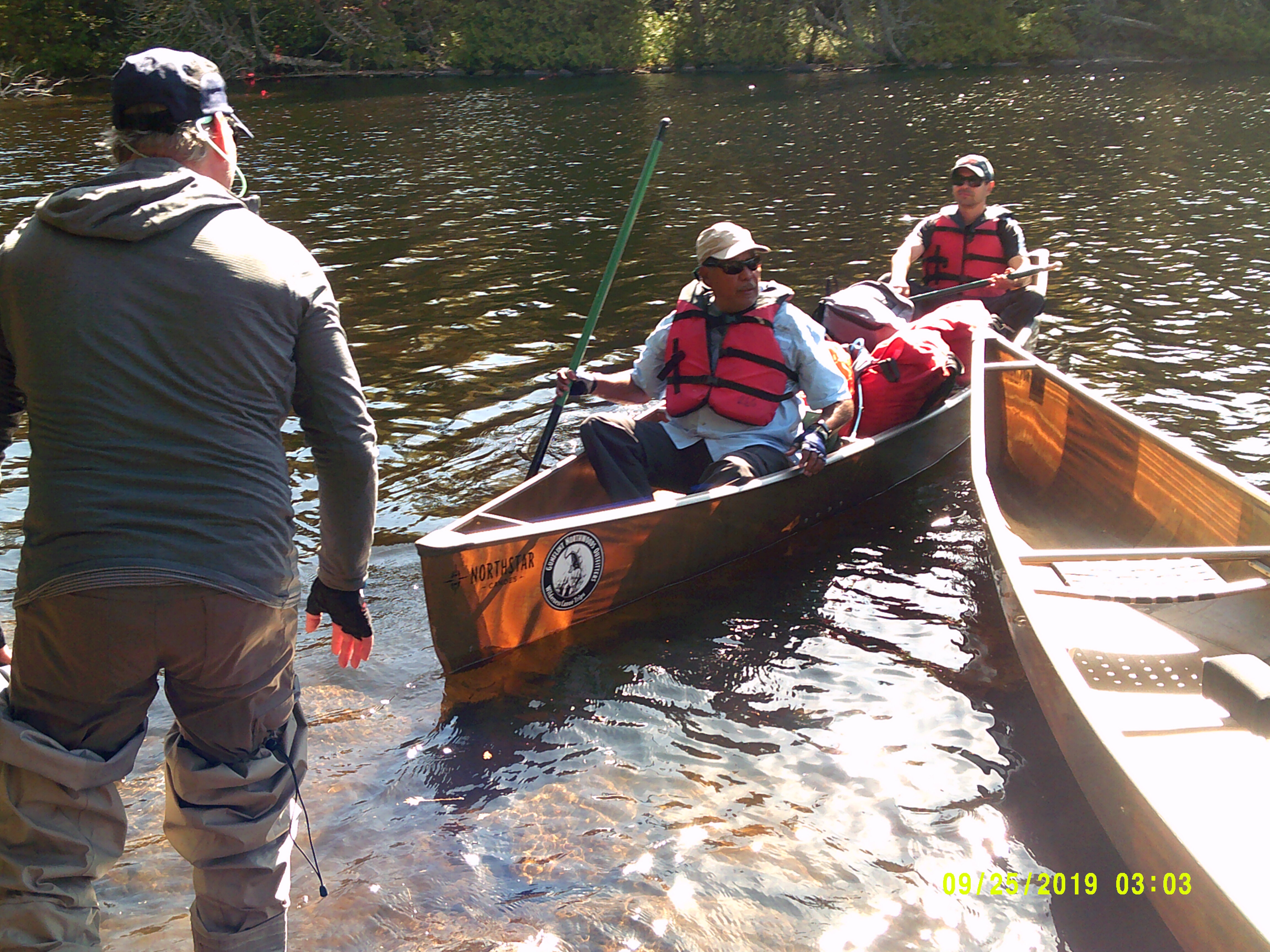
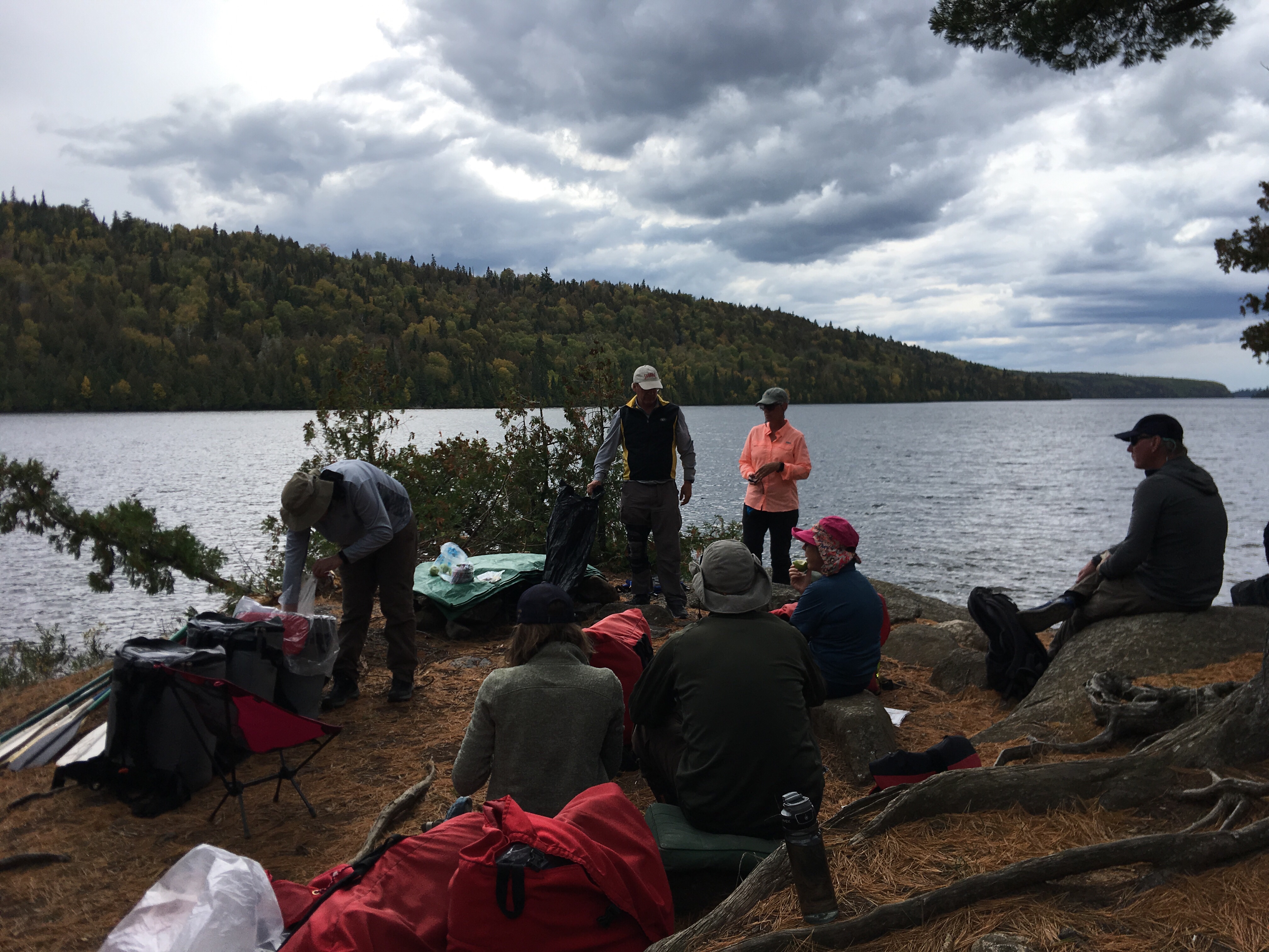
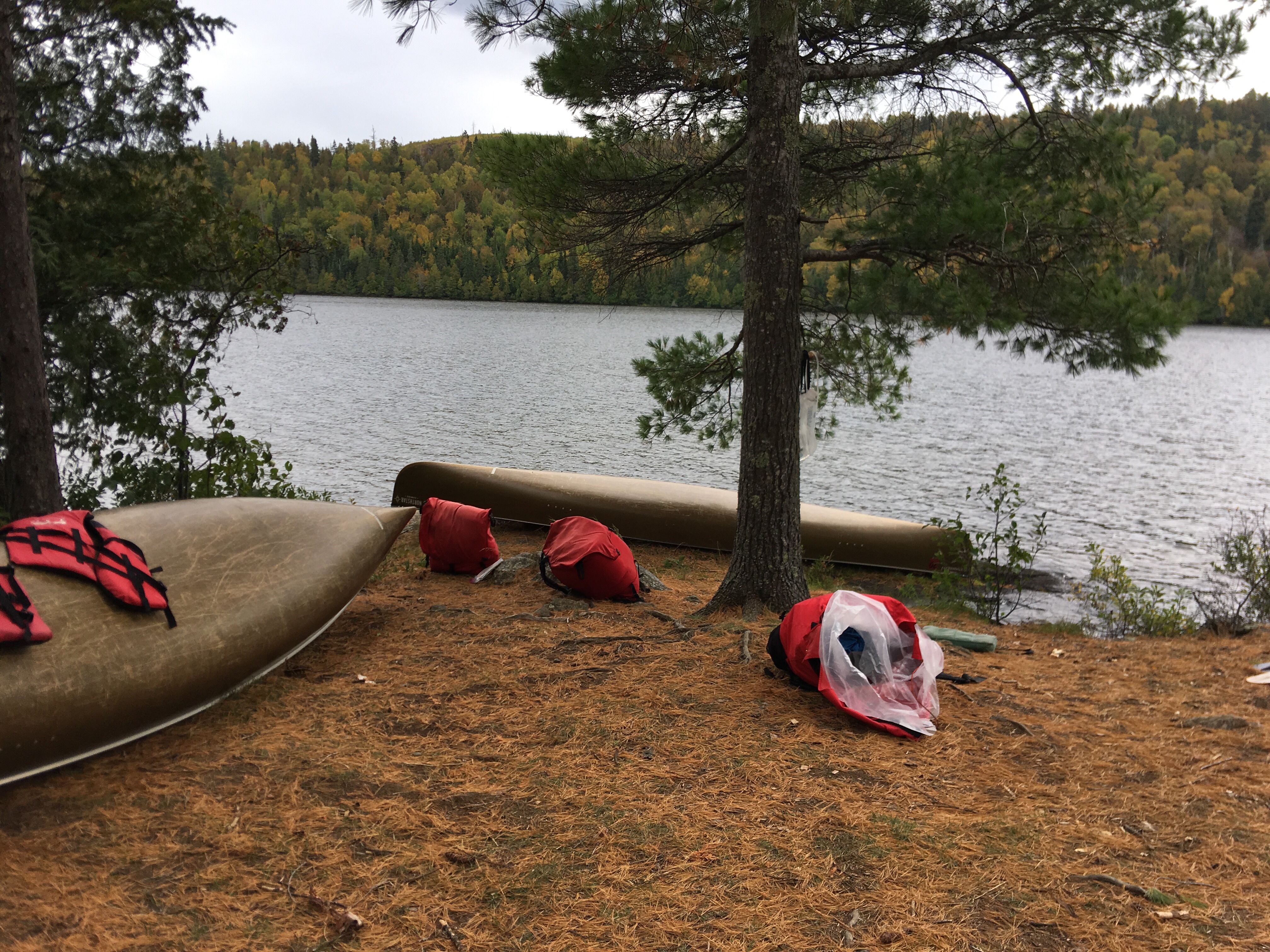
We arrived at our camping location about 2:30 PM and had lunch and set the camp, which also includes setting the ropes to hand the food, garbage and our mobile bar (backpack with the liquor flasks) away from the bears.

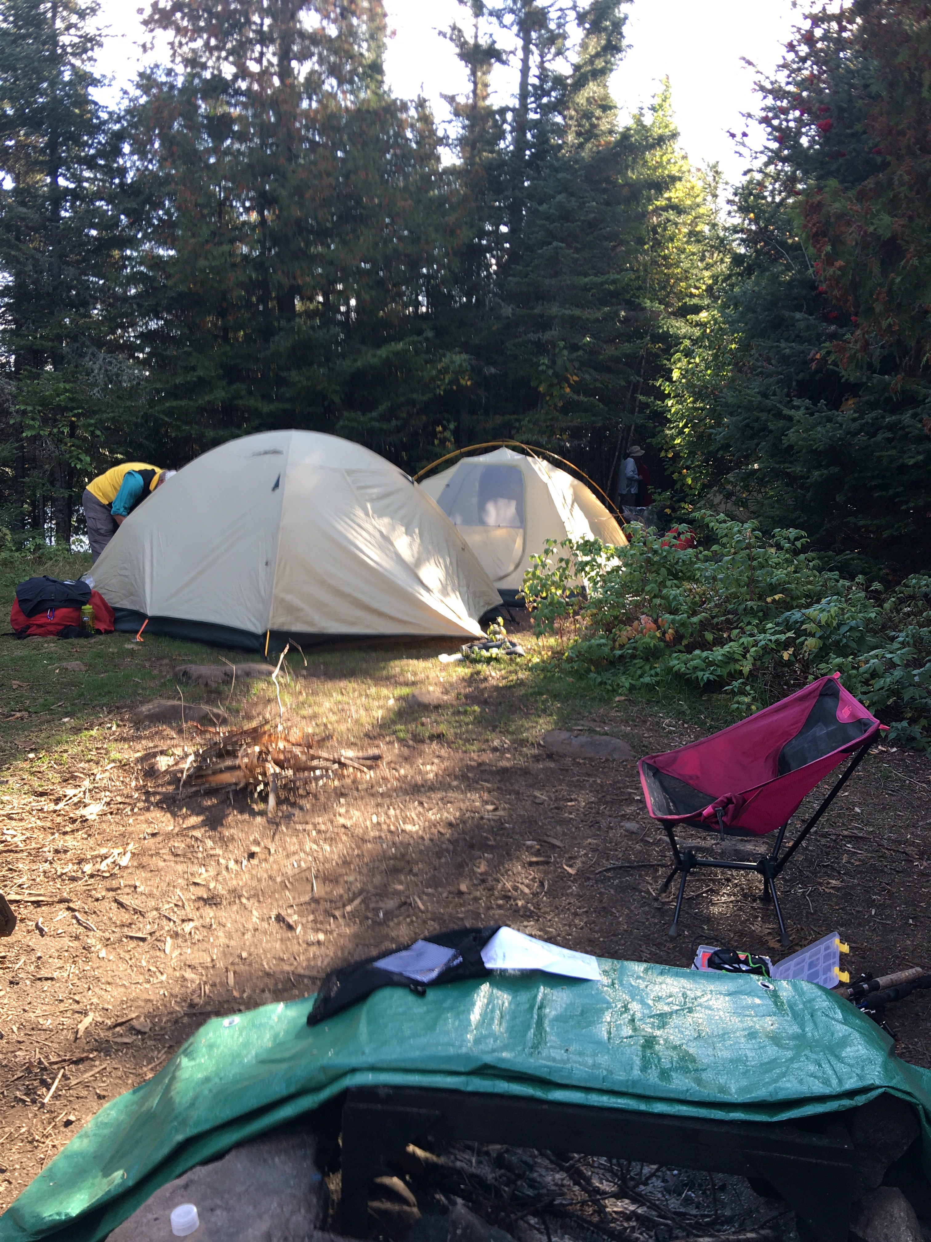
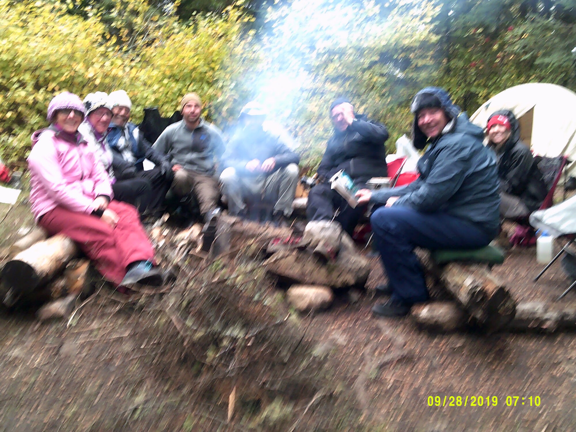
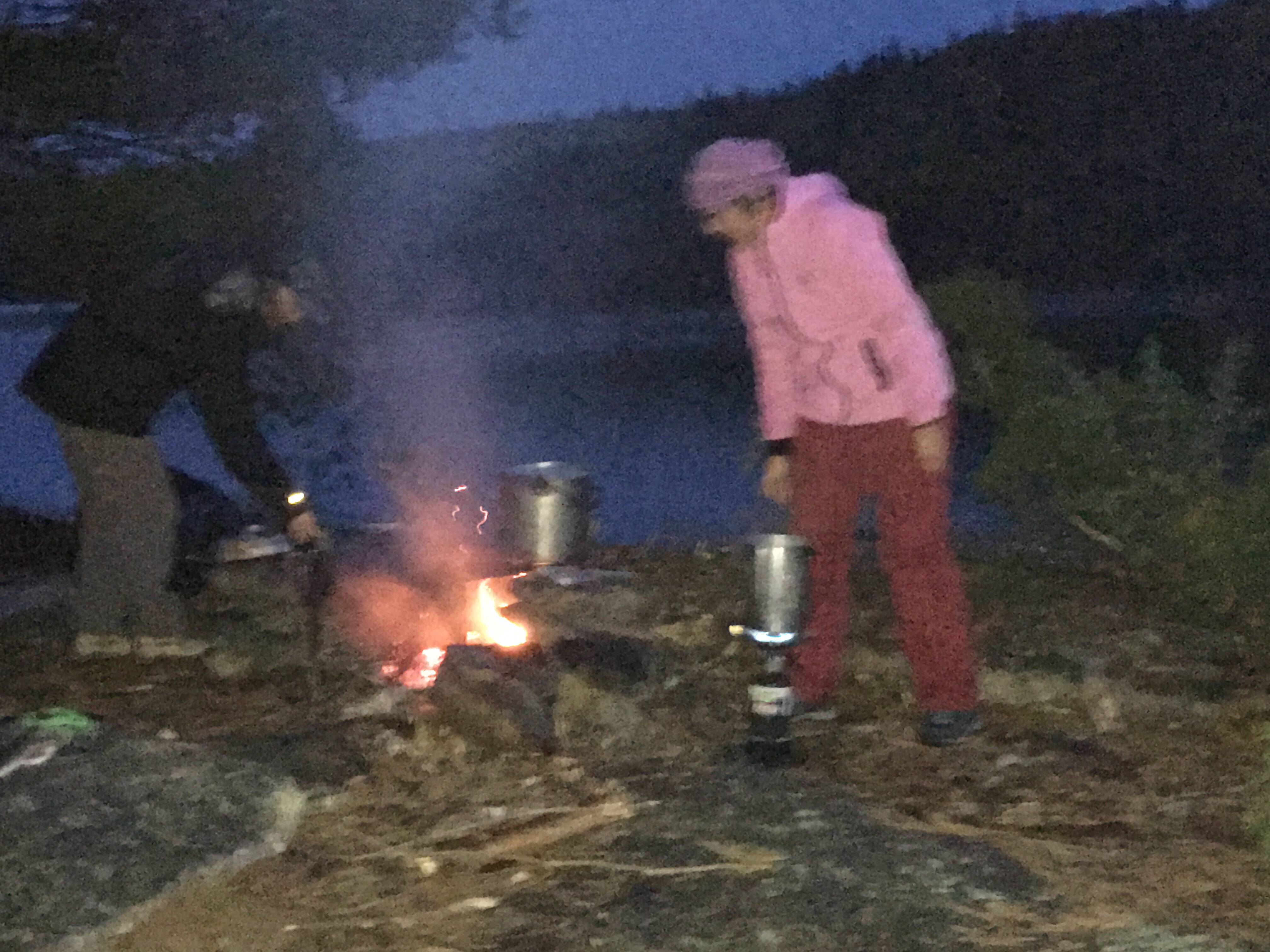
Bar opened at 5:00 pm and we started to enjoy the beauty of this wonderful place

Day 3 – Arriving to Finisterra or Fisterra

Ayer fue mi última caminata a Finisterra que estuvo llena de paisajes preciosos y cambio de la topografía cuando me acercaba a la costa. La temperatura fue elevada lo cual hizo la caminata un más difícil y agotadora.

This last journey was full of beautiful views and significant changes in the topography as I was approaching the coast line. Also the temperature was elevated and adding the humidity factor, the walk was very hard at the end of the journey

Cuando llegue a la cima de la montaña y los árboles se abrieron para enseñar la costa me dio una gran satisfacción. Después de caminar por casi 900 Km he llegado a la costa Oeste de España.

When I reached the submit of the mountain leading to the ocean I was received with the view of the ocean and I felt a great satisfaction that after more than 560 miles I have arrived to the west coast of Spain.

Los últimos kilómetros fueron fuertes ya que el sol estaba al maximo, pero la belleza del mar me dio el ánimo que necesitaba para llegar a Finisterra.

The last few miles were very difficult because of the heat, however, the beauty of walking along the ocean was enough to keep me motivated and focused on my arrival to Finisterra.

Después de tomarme una ducha y cenar me fui a el Faro que queda a unos 3 Km de Finisterra. El objectivo, de ver el atardecer y llegar al final del camino.

After taking a long cold shower y enjoyed a nice meal, I started to walk to the Light house (about a mile away) and the end of El Camino.